Mapas de Branchville (Virginia)
 1861
1861
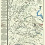 1865|Chief of Engineers1:350 000
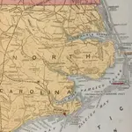
 1861|J. Wyld
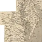
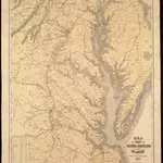 1861|Heyne, Charles1:400 000
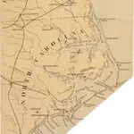 1861|L. Prang & Co.
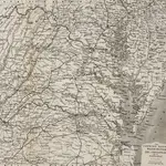 1861|J. Wyld
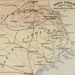 1862|L. Prang & Co.
Mapas antiguos de Branchville (Virginia)
Descubra el pasado de Branchville (Virginia) en mapas históricos
Mapas antiguos de Branchville (Virginia)
Descubra el pasado de Branchville (Virginia) en mapas históricos
En busca de un Google Maps API Alternativa?