Mapas de Novocheboksarsk
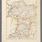 1829|Hermann, O.1:500 000
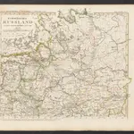
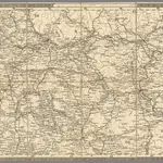 1854|Schubert, Friedrich Theodor1:1 400 000
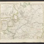
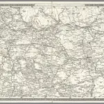 1837|Schubert, Friedrich Theodor1:1 400 000
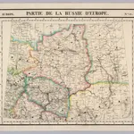 1827|Vandermaelen, Philippe, 1795-18691:1 641 836
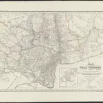 1837|[S.l.] : [s.n.]1:2 000 000
 1845|Stieler, Adolf
 1833|Stieler, Adolf
Mapas antiguos de Novocheboksarsk
Descubra el pasado de Novocheboksarsk en mapas históricos
Mapas antiguos de Novocheboksarsk
Descubra el pasado de Novocheboksarsk en mapas históricos
En busca de un Google Maps API Alternativa?